Hotels in Innisfail, Queensland
Canecutter Tavern
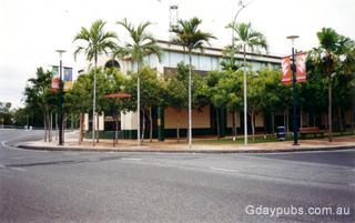
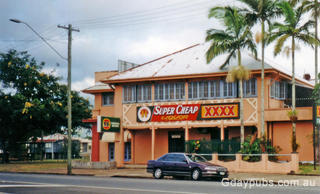
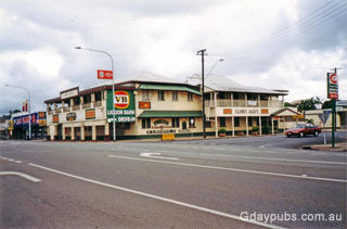
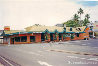
Commonwealth Hotel
Crown Hotel
Imperial Tavern
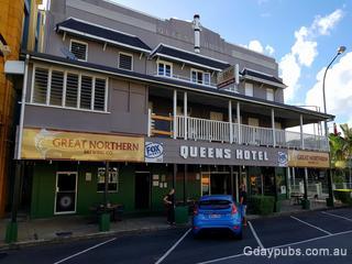
Queens Hotel
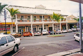
Former Hotel Grand Central
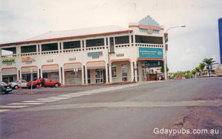
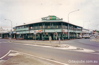
Former Whitehorse Hotel
Innisfail Hotel
Innisfail Hotel Currently Closed "I now doubt if the Innisfail Hotel will be reopened using any of its present structure. This will make it the second pub closed or destroyed by Tropical Cyclone Larry, the Castor Hotel, 8km south in the...
Information on Innisfail, QLD 4860
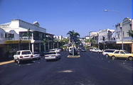
Edith Street
Innisfail
Tropical North Queensland
Australia
Photo Courtesy of Tourism Queensland
Innisfail is a prosperous, colourful town, situated on the North and South Johnstone Rivers, and is surrounded by rich green landscape. Lush sugar plantations flow from the dense rainforest coastline to the thick jungles of the Palmerston National Park to the west.
Innisfail is the largest township of the Cassowary Coast Region and is known for its sugar and banana industries, as well as for being one of Australia's wettest towns. Many of these buildings have recently been restored, making Innisfail the "art deco capital of Australia".
Local tourism links
Travel options
The Spirit of Queensland calls here on its way between Brisbane and Cairns with Queensland Rail Travel operates a train from Cairns Central Station to Innisfail 4 times a week. Premier Motor Service operates a bus from Cairns Central Station to Innisfail once daily, and by car, head south out of Cairns on the Bruce Highway, traveling approximately an hour. Mission Link Bus Services provides shuttle services between Cairns Airport and Mission Beach via Innisfail.
- Goondi Hill (1km)
- Wangan (5km)
- Mourilyan (6km)
- Garradunga (8km)
- South Johnstone (8km)
- Mena Creek (15km)
- Miriwinni (19km)
- Babinda (23km)
- Silkwood (23km)
- El Arish (32km)


